Leander Elite Concrete works as a concrete contractor in Hornsby Bend, TX, building slabs, driveways, patios, pads and walks with more than 20 years of experience behind the work. There is one fact that shapes nearly every job here, and it is not about the concrete or the soil. It is that 51.0 percent of this place sits inside some mapped flood hazard area.
Just over half. That is not a fringe of creekside lots; it is the majority condition, and it means the first question on most projects is what the flood mapping says about the specific address rather than what the client wants built.
What follows from that is a set of requirements that apply to how high things sit, how fill is placed and compacted, and what happens to the storage a floodplain loses when material is added to it. None of those is discretionary, and all of them are far cheaper to design for than to correct.
Half of This Place Is Inside a Mapped Flood Hazard Area
What the Mapping Actually Shows
Just over half the place, 51.0 percent, falls inside some mapped flood hazard area, and 6.2 percent of sampled points sit inside the regulatory floodway itself. Those are different categories with different consequences, and the floodway is the more restrictive of the two. We establish which category a property falls into before any design work, because the answer changes what may be built and not only how.
A lot inside a floodway is a materially different proposition from one in a broader hazard area. The floodway is the channel the water is expected to move through rather than merely occupy, so obstructions in it are treated far more restrictively, and a design that would be workable a short distance away may not be workable there at all.
Why It Applies to Flatwork
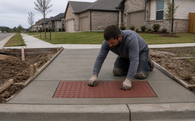
People generally associate flood requirements with buildings rather than with slabs, but adding material to a floodplain is adding material regardless of what shape it takes. A raised patio, a pad or a driveway built up on fill all occupy volume that water previously had available. We treat flatwork inside a mapped area as work that has to be designed rather than simply built, and we say so at the estimate.
It is the single most common surprise on projects here and the one that most often changes a scope. A client who has priced a raised patio elsewhere and brought that expectation with them is usually working from an assumption that no additional review applies, and it is far better to correct that at the estimate than after a deposit.
Compensatory Storage
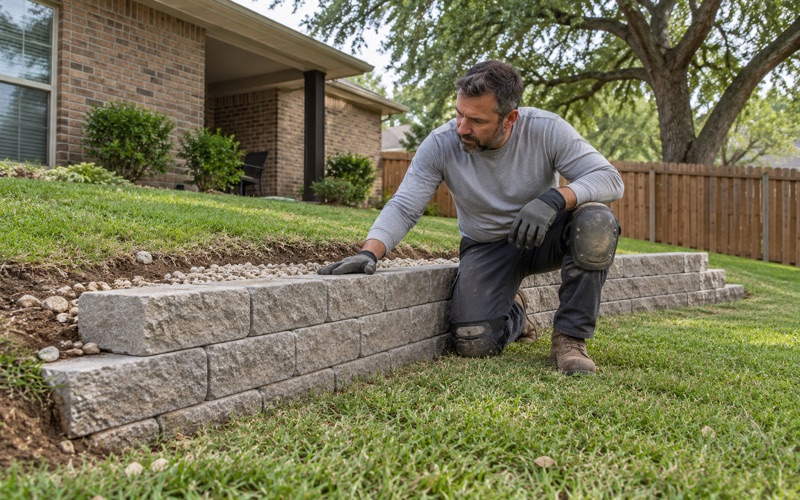
Where cut or fill occurs in a mapped floodplain, compensatory storage is the mechanism that keeps the floodplain’s capacity intact: volume added in one place has to be offset by volume created elsewhere. That turns a fill operation into a balanced earthworks problem rather than a delivery of material. We raise it early, because a design that quietly assumes fill can simply be imported is a design that has to be reworked once the requirement is applied to it. It also changes what a project costs in a way that is not obvious from the concrete quantities: the earthworks become a two-sided operation rather than a delivery, and the offsetting excavation has to go somewhere sensible on the property.
Looking for concrete-contractor closer to Shady Hollow? See Concrete-Contractor in Shady Hollow.
Freeboard, and the Elevations It Is Measured From
Two Feet of Freeboard
The minimum flood protection elevation requires two feet of freeboard, which is a margin above the base flood elevation rather than a match to it. That margin is deliberate: flood mapping is a model, and freeboard is the allowance for the model being imperfect. For flatwork that most often bears on what a slab connects to and how a level is set at a threshold, rather than on the slab itself.
We work to the elevations the county measures from rather than to a level taken off existing construction. Existing construction on a property is not evidence of a compliant level: it may predate the current mapping, may have been built to a different standard, or may simply be wrong, and copying it inherits the error without any way of detecting it.
Getting Levels Right on the Ground
Working to a flood protection elevation means working to surveyed levels rather than to relative ones. A slab set from an existing floor or an existing patio inherits whatever error that reference carries. We establish levels from the correct datum on any project where the flood protection elevation is in play, and we check them before forming rather than after.
Concrete placed to the wrong elevation is not adjustable. A slab an inch low can be lived with and a slab set below a required protection elevation cannot, and the remedy in the second case is removal rather than correction, which is why the survey happens before the forms rather than after them.
Ground With No Rock and a Water Table Instead
The ground here is river-terrace alluvium rather than prairie clay, and there is no rock in it: not one dominant component in a 194-point sample carries a lithic or paralithic restriction within 100 centimeters, and the main profiles are described to 152 to 204 centimeters with no restrictive layer recorded at all. Excavation here is therefore not priced by refusal depth. What takes its place is water: on ground of this kind the constraint is drainage and the height of the water table rather than how hard the digging is, and a trench that holds water is a completely different working problem from one that stops on rock. Excavations here can need dewatering, sides can be less stable than the same depth in a stiff clay, and the timing of the work relative to recent rain matters more than it would on ground that sheds water quickly.
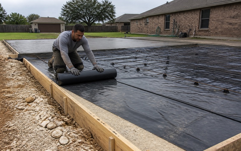
That also changes how a base is built. On free-draining material a base course behaves very differently from one laid on clay, and the compaction method and moisture control have to suit the material actually present rather than a general assumption about the region.
Ninety-Five Percent Standard Proctor
The Compaction Requirement
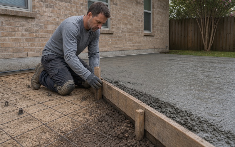
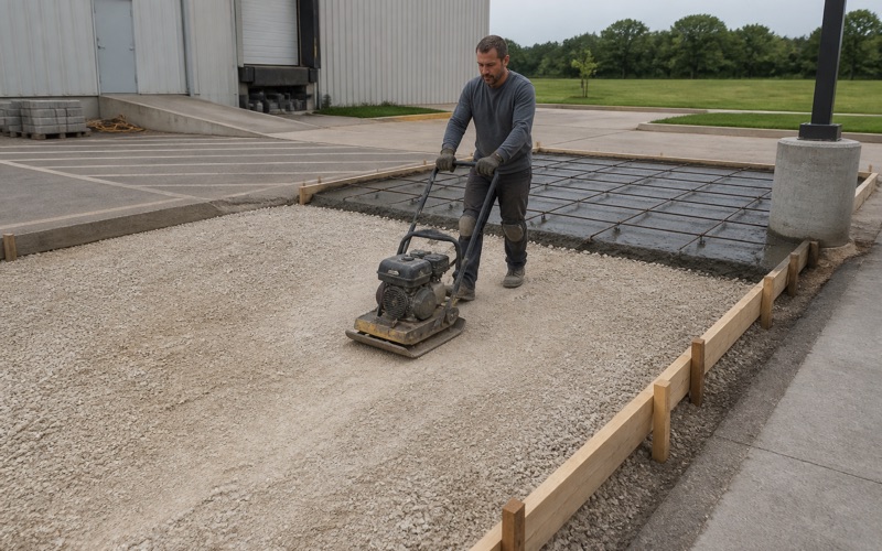
Fill is to be compacted to a minimum 95 percent Standard Proctor. That is a measured requirement rather than a description of effort, and it is the number that makes the difference between fill that supports a slab and fill that settles under it. We compact in lifts and test rather than compacting until it looks right.
On a project where fill is being placed to reach a required elevation, the depth involved makes lift discipline more important than it would be on ordinary flatwork. A shallow correction layer forgives a certain amount of imprecision; two or three feet of imported fill does not, because every lift that falls short adds its own settlement to the total.
Why the Number Matters More Here
On a site where material is being brought in to raise a level, the fill is not a thin correction layer; it is a substantial part of what the finished work sits on. Under-compacted fill at that depth produces settlement that no slab design compensates for. We would rather spend the time on placement and testing than replace a slab that settled because the ground beneath it consolidated.
That is the failure this requirement exists to prevent and it is entirely avoidable. It is also a failure that arrives late, typically a year or two after the work, by which point the connection between a settled slab and the way its fill was placed is no longer obvious to anyone.
Varied Ground Inside a Small Area
Thirty distinct soil map units sit inside 9.4 square miles here, and the sample runs across several soil orders: Mollisols at 31.4 percent, Vertisols at 24.7 percent, Alfisols at 20.6 percent, Entisols at 13.9 percent and Inceptisols at 6.7 percent.
That variety is real and it matters. Yahola very fine sandy loam is free-draining sand with a plasticity index of 4 to 5, while Houston Black carries a plasticity index of 44 to 45 and linear extensibility of 12 percent, and a base course laid on one behaves nothing like a base course laid on the other. Hornsby Bend is a census designated place in Travis County named after early settler and Republic of Texas era postmaster Reuben Hornsby, and its population grew from 6,791 in 2010 to 12,168 in 2020, so a great deal of this work is new rather than replacement.
Working on Varied Ground Without a Single Rule
The practical consequence of that variety is that we test and look rather than applying a standard detail across the place. Two properties on the same road can sit on materials with completely different drainage, plasticity and bearing behavior, and a base specification carried over from a previous job is as likely to be wrong as right.
We would rather spend an hour establishing what is actually under a particular lot than build to an average that describes none of it. On ground with this much variation inside a small area, that is not extra diligence; it is the only way to give a price that means anything.
- 20+ Years in Concrete
- Licensed & Insured
- Free Estimates