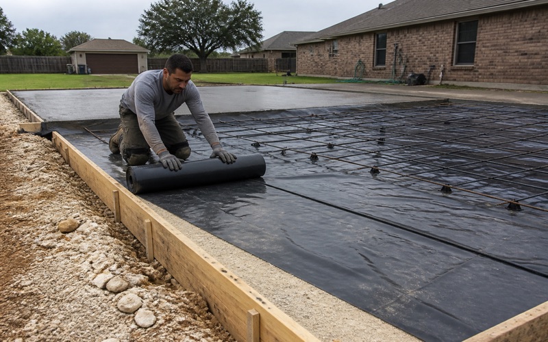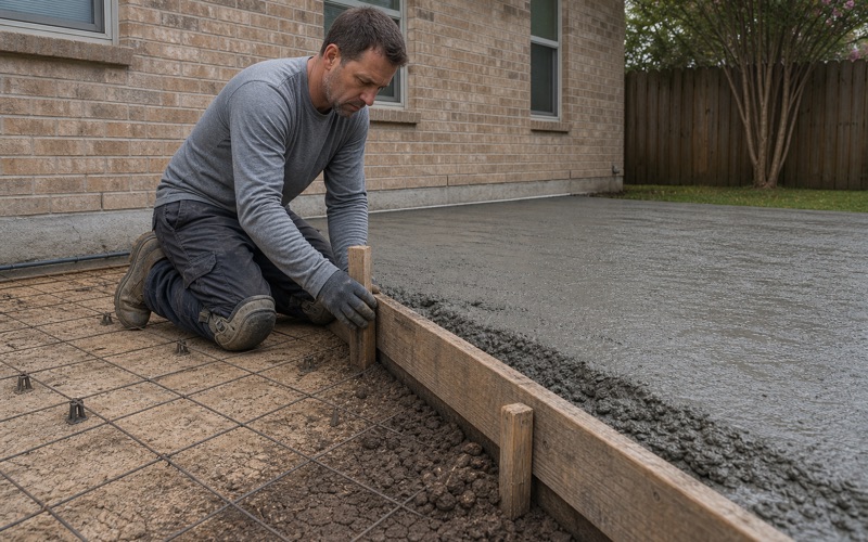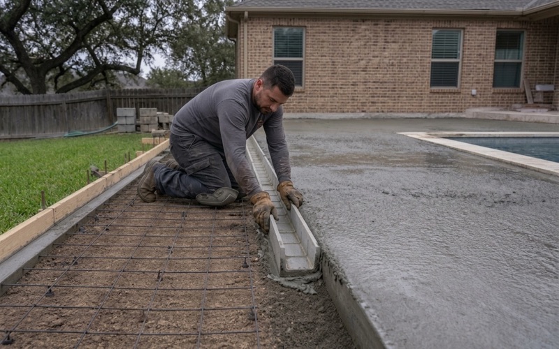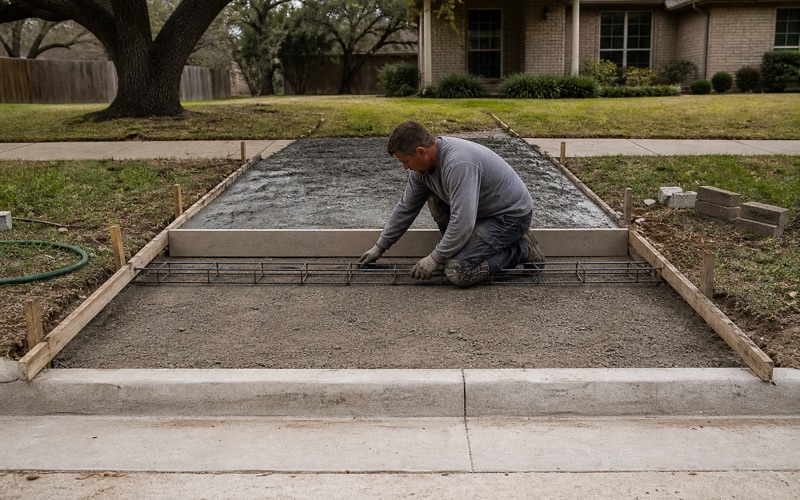
Leander Elite Concrete works as a concrete contractor in Shady Hollow, TX, building patios, driveways, walks, slabs and pool decks with more than 20 years of experience behind the work. This place sits entirely inside the Edwards Aquifer recharge zone, which puts it on the strictest impervious cover tier that applies anywhere in the area.
The limit is 15 percent of net site area. For comparison, the contributing zone tiers sit at 20 percent for the Barton Creek portion and 25 percent for the other contributing-zone creeks, so the ground here is held to a materially tighter standard than land a short distance away.
Two things follow from that, and both surprise people. Net site area is not the same as the area on a deed, so the allowance is computed on less land than the lot contains. And there is no variance route, so a design either fits within the limit or it is not built.
Fifteen Percent, and Why This Place Is on the Strictest Tier
The Recharge Zone
The whole of this place sits inside the Edwards Aquifer recharge zone, which is the tier where water reaching the ground surface can move most directly into the aquifer. That is why the impervious cover standard applied to it is the tightest of the three.
We start every estimate here from that fact rather than arriving at it. It is not an occasional complication attached to some lots; it is the condition that applies to all of them, and it shapes what is realistic before any design work begins. It also means a contractor who works mainly outside the recharge zone will carry the wrong assumptions into a job here, and those assumptions are about what is possible rather than merely about paperwork.
Fifteen Percent in Practice
Fifteen percent is a genuinely tight allowance once a house, a driveway, a walk and a patio are counted against it. On many lots the existing construction already consumes most of it, which means an addition has to be assessed against the remainder rather than against the limit.
We calculate the existing coverage before proposing anything. Telling a client early that the available headroom is smaller than they assumed is far better than designing something that has to be abandoned, and it usually redirects the conversation toward quality rather than size. Clients are generally more satisfied by that conversation than the numbers suggest, because a well-designed area that gets used every day is worth more than a larger one that is mostly walked across.
Comparing Tiers, and Why It Matters
The 20 and 25 percent tiers exist nearby, which is why a client who has seen what a friend built elsewhere may have expectations formed under a different standard. The difference between 15 and 25 percent is not marginal; on the same lot it is most of a patio.
We explain the tiers rather than simply citing the number that applies. Understanding that the limit follows the ground rather than the jurisdiction makes it much easier to accept, and it prevents the reasonable but wrong assumption that a nearby precedent transfers. The tiers follow the aquifer rather than a city boundary, which is not intuitive, and nothing visible on the ground marks where one becomes another.
Looking for concrete-contractor closer to Dripping Springs? See Concrete-Contractor Services in Dripping Springs.
Net Site Area, Which Is Not the Same as Your Lot
What Gets Excluded
Net site area counts only the uplands and excludes the critical water quality zone and the water quality transition zone. So on a lot with a creek or a drainage feature, the area the percentage is calculated on is smaller than the area on the deed.
That produces a compounding effect that catches people out. A creekside lot has both a reduced base for the calculation and, frequently, less usable ground to begin with, so the buildable allowance shrinks from two directions at once. A client comparing their lot to a neighbor’s on paper may see similar acreage and a very different allowance, and the difference is entirely in what the calculation excludes rather than in anything they can see.
Establishing the Number Before Designing
Because the allowance depends on a computed area rather than a measured one, the calculation has to be done before a design is drawn rather than checked against it afterward. A patio sized to a percentage of the deed area is sized to the wrong number.
We work from the net site area figure and design into what it permits. Where that number has already been established for a property through earlier work, it saves considerable effort, so it is always worth asking what exists before commissioning anything. Where it has not been established, it is a survey and engineering task rather than something a contractor can produce, and it belongs at the very front of a project.
The Ground Underneath
Most of this place sits on a single soil, which is unusual enough to be worth stating. Speck clay loam covers the center, the northwest and the northeast at 95 percent Speck, and it carries indurated lithic bedrock at a representative 46 centimeters, about 18 inches.
That is hard limestone rather than weathered marl, so a footing trench, a thickened edge or a drainage cut reaches non-rippable rock inside the first foot and a half across most of the place. At the south end it is shallower still, where Eckrant carries indurated bedrock at 20 centimeters, about 8 inches. The Speck profile also stiffens sharply just above the rock, with a Bt horizon at 50 percent clay and a plasticity index of 36, so excavating to rock exposes the most active material in the profile as the last thing a slab will sit on.
A Rule With No Variance Route
What Section 25-8-515 Does
Land Development Code Section 25-8-515 prohibits variances from the Save Our Springs Ordinance. That is a categorical prohibition rather than a high bar, so the usual route of applying for relief on the merits of a particular case does not exist. We are direct about that at the estimate.
A client who assumes that a well-argued application might succeed is planning around an option that is not available, and the honest answer is more useful than an encouraging one. It also saves a real amount of money, because pursuing relief that cannot be granted consumes design fees and time before it produces the same answer.
Designing Within the Limit Instead
With no relief route, the only productive approach is to design within the allowance from the beginning. That is a real constraint and it is workable, but it has to be accepted rather than tested. We treat the available area as the brief. A smaller, better-detailed patio in the right position is usually a better outcome than a larger one anyway, and when the limit is fixed, putting the budget into quality is the only direction left.
Getting More From a Constrained Allowance
Where impervious area is tightly limited, the useful moves are the ones that get more use out of less coverage: positioning a patio where it will actually be used, considering levels and shade, choosing a finish that will still look right in several years, and making the transition from the house properly.
We also look at what is already counted. Occasionally an old, unused slab or a redundant path is consuming allowance that a client would much rather spend elsewhere, and removing it is the cheapest way to create room for something better. That is worth checking on any property that has been added to over the years, since allowance consumed by something nobody uses is the easiest kind to recover.
The State Plan a Recharge-Zone Job Needs
An Approved Plan Before Work Starts
Work on the recharge zone requires a TCEQ Edwards Aquifer protection plan reviewed and approved before it begins. That is an approval that precedes construction rather than accompanying it, and it has its own timeline. We build that into the program rather than treating it as a parallel task. Shady Hollow is a census designated place in southwestern Travis County, partially inside the City of Austin, ten miles southwest of downtown Austin near the Travis and Hays county line, with a population of 4,822 at the 2020 census, and on ground like this the approval sequence is the schedule.
What the Plan Involves
A protection plan is a technical submittal rather than a form, so it involves a design professional and a review period. That means the front end of a project is longer here than on comparable work elsewhere, and the useful response is to start earlier rather than to compress the construction. We plan for the review rather than around it. A start date quoted without accounting for the approval is a start date that will move, and moving it late is considerably more disruptive than setting it correctly at the beginning.
Working Carefully on Sensitive Ground
Beyond the paperwork, work on the recharge zone carries obligations on the ground: erosion and sedimentation controls installed and maintained, protective measures around sensitive features, and care about what is allowed to reach the surface. We take those seriously rather than treating them as formalities. The gentle slopes here, at 1 to 5 percent across the dominant map unit, make this flat-pour work with drainage falls to design rather than terraced hillside work, but the stony phase in the map unit name is the warning that surface stone and shallow rock, not grade, drive the excavation cost.
- 20+ Years in Concrete
- Licensed & Insured
- Free Estimates